
In the previous article, we saw why accurate measurement is beneficial and how CLIMAVIBE, our project in collaboration with Tetis Institute (a spin-off of the University of Genoa), sets up a solid strategy with iChain as its backbone.
Here we go into more practical details: after being tested in a lagoon environment, the CLIMAVIBE model shows its full potential in both business and territorial contexts. So let’s find out what we measure, how we translate data into operational KPIs, and why this approach can become a concrete ally far beyond the lagoon.
How iChain transforms environmental measurements into operational signals
iChain collects data streams from field stations, normalises the data so that series from different stations and periods are comparable, stores them in a structured manner and makes them readable via dashboards, KPIs and alerts.
If a critical issue persists, the system notifies in time, so those who govern the process can intervene before the problem becomes systemic.
It is this step, from measurement to operational signal, that makes the difference.
To “read” a complex ecological status, you need a few right parameters, measured well and often.
In CLIMAVIBE, the reference set combines abiotic parameters and biotic parameters.
1. Abiotic parameters
Abiotic parameters, measured by three sensory stations located at representative points
- Temperature: indicates thermal conditions and seasonal stress;
- Salinity: fundamental in transitional environments such as lagoons;
- Dissolved oxygen (DO): measures the availability of oxygen for organisms;
- pH: indicates acid-base variations that impact biological processes;
- Turbidity: reflects the presence of suspended material (such as sediments or algae), which directly affects water clarity and the life of organisms.
2. Biotic parameters:
- Seagrass beds (marine plants with roots and leaves, similar to underwater grasslands): their extent is a key indicator of the state of the habitat;
- Fish fauna: monitored with underwater cameras to capture characteristic presences/trends.
Abiotic measurements are related to the physical and chemical conditions of the water and the environment, and are taken frequently (≈ every 20 minutes) in order to capture daily and seasonal dynamics.
The flows automatically converge in iChain, where they undergo quality control, secure storage, analysis and visualisation via a dashboard.
The platform also allows information to be archived, smart notifications to be activated and data to be shared in a controlled manner with the various stakeholders involved.
How the LBI index consolidates data and guides operational decisions
Measuring is one thing, deciding is another.
That’s why CLIMAVIBE uses the Lagoon Biodiversity Index (LBI), a 0–1 index with quality classes and colours (green/yellow/red/black) that makes interpretation immediate.
It may seem complex, but it is actually very intuitive.
The index ranges from 0 (ecosystem in poor condition) to 1 (ecosystem in optimal condition).
To make it easier to use, the values are translated into a traffic light system:
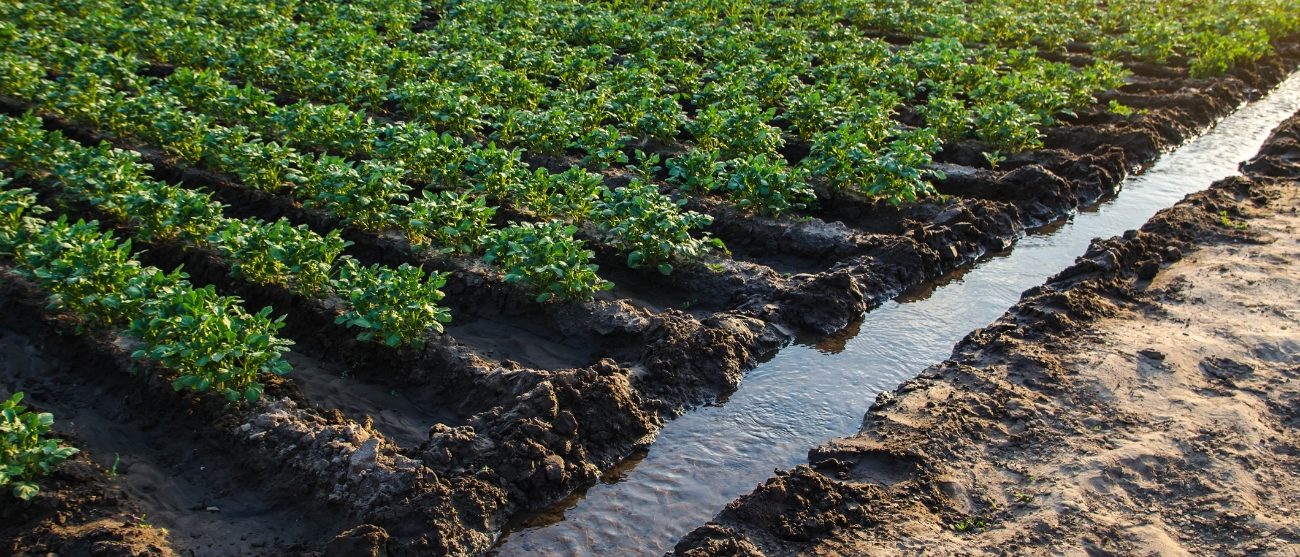
- Does the biodiversity of your field have values that correspond to the green traffic light? Excellent, the situation is balanced and under control.
- Does the water you use to irrigate your crops have a value that corresponds to red? The conditions are critical: if this situation persists over time, immediate action must be taken.
In practice, the index becomes an application tool: those who consult it can assess the state of the ecosystem at a glance and decide how to act.
It is advantageous because it condenses complexity into a signal that can be read by technicians, operators and management.
It allows for monthly, seasonal and inter-annual comparisons.
It also translates the data into practical recommendations on how to intervene, for example by scheduling additional checks or initiating corrective actions when values deviate from safety thresholds.
From measurement to management: examples of use
These parameters and this index were chosen for this specific case, but it is important to emphasise that this is an operational methodology: the elements can be adapted or modified according to the context and the needs of the manager. In practice, the model is flexible and customisable.
Using the system applied to the lagoon environment in CLIMAVIBE, for example, you could know:
- Water management: DO and salinity patterns during heat waves suggest adjustments to activities and mitigation measures;
- Habitat protection: trends in turbidity and pH, related to weather events or local pressures, help define time windows for potentially impactful activities;
- Communication & compliance: indicators and structured history facilitate discussion with stakeholders and authorities (traceability, auditability).
Why this approach works elsewhere too
The strength of the model lies not in its “lagoon specificity”, but in the flow structure:
(1) Sensors/Observations → (2) iChain Platform → (3) Indicators/Alerts → (4) Decisions.
This model can be reused in contexts where the quality and availability of resources (water, soil, habitat) are critical and must be demonstrated with credible data.
Looking ahead, the same system allows predictive analyses to be integrated in order to identify hidden patterns and anticipate risks.
The point remains, however: first you build a reliable data pipeline, then you exploit the intelligence of the models. Without good data, no model really works.
How the organisation’s work changes
Adopting CLIMAVIBE does not just mean having more data, but transforming the way the organisation reacts, communicates and makes decisions.
Here are some immediate effects:
- Speed of reaction: alerts allow critical issues to be identified in advance, avoiding discovering them after the fact.
- Internal alignment: the same figures, read by different departments, speak the same language and facilitate decision-making.
- External credibility: traceability, history and standardisation reinforce solidity towards customers, partners and authorities.
CLIMAVIBE proves that accurate measurement is possible without weighing down operations. With sensors where they are needed, iChain as the backbone, clear indicators and action signals, you can move from simple ‘data collection’ to informed management. And that’s not all: the same method can be applied in other domains (water, soil, biodiversity, carbon) with the same logic and scalability.
Would you like to see a typical set-up with stations, iChain flows, KPIs and traffic lights applicable to your context? Contact us: we can prepare a pilot programme for you and show you how it works in practice.

![]()
CEO of Wiseside Srl, thanks to his solid experience in the IT sector and consulting for multinational companies, she has been contributing for over 10 years to the development of innovative and collaborative Supply Chain models, always respecting the principles of sustainability.

